DeKalb E-911 GIS Mapping
DeKalb County E-911 has been participating in the statewide GIS mapping project since its inception in 2002.
The GIS mapping project has been a valuable asset to DeKalb County 911. In addition to the GIS mapping project,
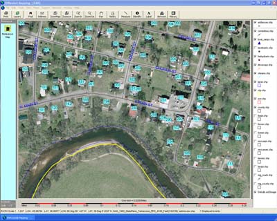
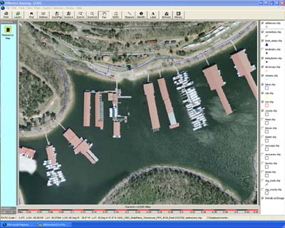
DeKalb County and the other 15 counties in the Upper Cumberland Homeland Security District recently obtained arial
ortho flyover photography. The images that you will see in the photos below are of great quality and have been priceless
to our Communications Center and to the citizens of our community. Our mapping system "EnRoute Mapping" is also
provided by Combix Corporation. Just like our ANI/ALI system, the mapping system is also fully integrated with our CAD system.
Maps are provide by Triple A Mapping in Cookeville Tennessee
Click image to Enlarge
Click image to Enlarge
Click image to Enlarge


